R1.01
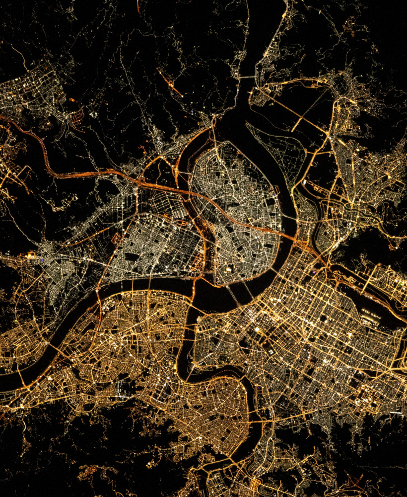
Urban expansion and ecosystem service provision
Analysis of multidecadal urban expansion and ecosystem service provision (National Science and Technology Council, Taiwan, 2024–2026).
Remote-sensing turned engineering geologist and geomatics researcher and teacher educated in Germany, with experience in planetary and terrestrial remote-sensing research, geospatial analysis, and knowledge engineering. Current work applies geographic information system technology, spatial modeling, and machine learning tools to land-use and land-cover analysis. Current projects focus on national-scale LULC dynamics and rural land transformation in Taiwan.
Multidecadal national land-use and land-cover dynamics in Taiwan using applied machine-learning models. Interdisciplinary work on rural land transformation and fragmentation, with a focus on policy-relevant indicators. Development of web-based GIS platforms and data-processing pipelines that support planning and spatial decision making. to Research
Spatial data analysis and information mangement covering land-use land-cover scenarios as well planetary surface studies. to Publications
Invited and regular seminars and courses in the Land Surveying group's curriculum in the Department of Land Economics at National Chengchi University. to Teaching